
The Digital Angler's Ultimate Directory: Top Fishing Apps of 2026
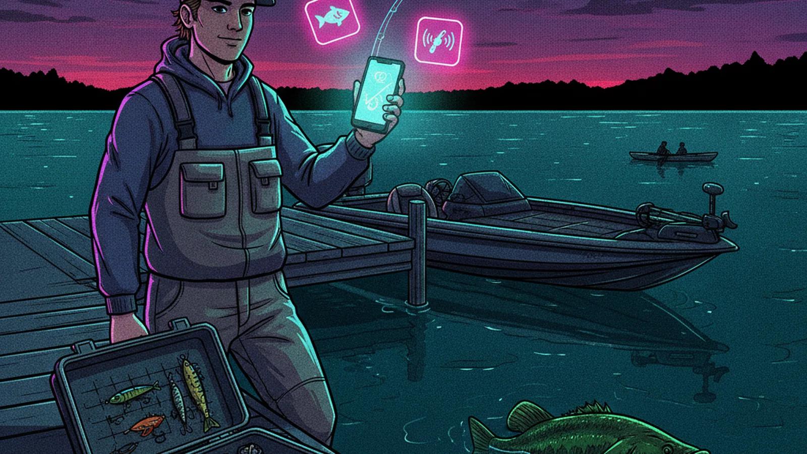
Plan smarter. Search your lake forecast now.
Fish Licker combines solunar tables, barometric trends, water clarity, and species behavior to predict your bite.
The Digital Angler's Ultimate Directory: Top Fishing Apps of 2026
The digitalization of angling has turned smartphones into essential tackle. There's an app for predictive AI and one for high-resolution bathymetry. There's also no shortage of ways to log catches without giving up your secret spots.
Here is a directory of the best fishing apps in 2026, organized by water type, pricing model, and core use case.
Part 1: All-Water Apps (Freshwater & Saltwater)
Free & Freemium Options
Catch Logging, Social Networking & Marketplaces
- GilledIt: The best overall freemium fishing app. Its free core includes high-speed catch logging in under 30 seconds, an algorithmic social feed, and an interactive map. Its standout feature is a built-in peer-to-peer tackle marketplace secured by Stripe Connect escrow.
- FishAngler: A completely free, utility-focused app with no premium paywall. It offers catch logging, interactive maps, and built-in weather and solunar forecasts.
- Fishbrain: The largest social fishing network, with more than 20 million users. Basic social sharing is free, but the app gates its most valuable tools, including depth contours, exact catch coordinates, and AI BiteTime predictions, behind a Pro subscription ($9.99 to $12.99/month).
- Anglers' Log: A straightforward, private fishing journal for recording catches, photos, and baits, with weather and tides added automatically.
- Hook and Ledger: A free, web-based private logging tool built purely to collect personal catch data and share it selectively with friends, avoiding public spot-burning.
AI Mapping & Forecasting
- Fish Licker (fishlicker.ai): A free, web-based AI fishing spot finder built around its Fishing Mapper tool. Upload a bathymetric or contour map, calibrate for target species, time of day, and depth range, and the AI ranks likely hotspots with plain-language reasoning. What sets it apart on the forecasting side is live weather and barometric pressure trend integration, which adjusts recommendations for rising, falling, or stable pressure rather than treating every day on the water the same. Results come with a probability heatmap, an interactive contour overlay, and printable reports, making it useful for boat anglers, bank anglers, and ice anglers alike. Fish Licker also runs a standalone Lure Color Selector that reads live water clarity and light conditions to recommend a lure color.
Citizen Science & Conservation
- MyCatch by Angler's Atlas: A free catch-logging app that keeps your exact coordinates private while securely sharing aggregate data with university researchers and state biologists to track fish populations and waterbody health.
Regulations & Fish Identification
- Fish Rules: Uses your phone's GPS to instantly show local state and federal bag limits, size limits, and open seasons for both fresh and saltwater. A ProStaff tier ($29.99/year) adds reef locations and professional fish identification.
- FishVerify: A digital tool that uses your camera to identify fish species instantly. A premium scan pack ($29.99/year) adds AI image recognition, a digital license wallet, and expert-verified identification.
- Fishing Knots & Rigs: A specialized offline tool with step-by-step tutorials and illustrations for tying more than 50 essential knots. It is free, with a low-cost ad-removal upgrade.
Paid & Premium Options
Mapping, GPS & Boat Navigation
- Navionics Boating: The gold standard for marine chart-plotting, owned by Garmin (about $50/year). It offers unmatched 1-foot depth contours, relief shading, and sonar overlays for boats and kayaks, though it lacks fishing logs and species databases.
- OnWater: An essential app for finding legal shoreline access and boat ramps. The Plus subscription ($49.99/year) unlocks private property boundaries, offline 3D mapping, and species-specific overlays for more than 100 fish.
- Fishing Points: A robust tool for saving GPS waypoints, trolling paths, and trotlines. Premium ($9.99/year) unlocks global nautical charts and offline marine maps provided by NOAA.
- ANGLR: Best for automatic GPS trip recording. The PRO tier ($7.99/month) tracks your entire trolling path, automatically logging waypoints and casts via Bluetooth hardware such as the Bullseye button or Abu Garcia Virtual Rod.
Weather & Trip Safety
Part 2: Freshwater-Specific Apps
Free & Freemium Options
AI Bait Recommendations
- BaitIQ: Excellent for solo, beginner bank anglers. Scan the water color, cover, and light conditions with your camera, and the app cross-references live weather to recommend exactly what bait to throw ($9.99/month after a free trial). Fish Licker's Lure Color Selector covers similar water-clarity-driven color guidance for free.
Ice Fishing & Local Forums
- Lake-Link: A digital companion providing ice fishing reports, lake profiles, and active community forums to find out what's biting through the ice.
Paid & Premium Options
Bass Fishing Specialists
- Deep Dive: An analytical tool for serious bass anglers ($79.99/year). It uses real professional tournament data to reveal "Best Areas" and "Tournament Patterns" based on exact lake conditions, maps water clarity via satellite, shows stream inflows, and features a "Back Cast" tool to rewind environmental conditions up to two years into the past.
- BassForecast: Uses barometric pressure, moon phases, and AccuWeather data to generate a 10-day Bass Forecast Rating, or BFR ($29.95/year). It pushes alerts on "Epic" and "Good" days so you know when to call in sick to work.
Fly Fishing & Trout Exploration
- TroutRoutes: The leading app for flowing cold water, mapping more than 50,000 trout streams in the U.S. ($39.99/year). It provides stream classifications such as Gold Medal waters, real-time river gauges, and public access points.
- FlyFishFinder: An elite discovery engine that maps more than 220,000 rivers, allowing anglers to filter by more than 100 species, including warm-water bass and carp. It focuses heavily on data integrity without the spot-burning risk of traditional social media.
Part 3: Saltwater & Offshore-Specific Apps
Free Options
Official Marine Forecasting
- NOAA Marine Weather: The authoritative, free source for U.S. coastal and offshore zone forecasts, small-craft advisories, and live data from NDBC buoys.
Paid & Premium Options
Inshore & Coastal Strategy
- Smart Fishing Spots (Salt Strong): The definitive app for targeting inshore redfish, snook, seatrout, and flounder ($97/year). It consolidates 1-foot 3D depth contours, 14-day tide forecasting, and dynamic overlays revealing hidden oyster beds and seagrass flats.
- Pro Angler: A massive database of 15,000 GPS hotspots, 250 saltwater species guides, radar weather maps, and weekly "What's Biting" local reports ($9.99/month).
Offshore & Pelagic Hunting
- FishTrack: Indispensable for deep-sea anglers targeting pelagic species ($95.99/year). It maps oceanographic data such as cloud-free sea surface temperatures, chlorophyll levels, and ocean currents to help locate the temperature breaks where offshore fish hunt.
- Buoyweather: Highly reliable 16-day point-based marine forecasts, trusted by offshore fishermen planning Gulf Stream or canyon runs (Pro, about $96/year).
Marina & Slip Logistics
- Dockwa: The easiest way to browse, book, and pay for marina slips and moorings digitally while planning coastal fishing trips or sandbar days.
How to Choose the Right Fishing App
No single app covers every use case. Most serious anglers run two or three at once, splitting navigation, weather and forecasting, and catch logging across separate tools.
No single app covers every use case. Most serious anglers run two or three at once, splitting navigation, weather and forecasting, and catch logging across separate tools. Start with what slows you down most on the water.
- Struggling to find fish before you make a cast? Start with an AI mapping and forecasting tool like Fish Licker, which turns a bathymetric map and current conditions into a ranked list of spots to try first.
- Not sure what lure to tie on once you get there? Pair that with a water-clarity tool. See our lures and tactics guide for summer bass for how color choice interacts with clarity, depth, and light.
- Need precise depth data for boat navigation? A dedicated chart-plotter such as Navionics Boating remains the standard.
- Want to track your trips and build a personal record? A logging app such as FishAngler, GilledIt, or Anglers' Log keeps that data private and organized.
- Fishing saltwater or offshore? Pair a marine forecast app such as NOAA Marine Weather or Buoyweather with a species-specific tool like FishTrack or Smart Fishing Spots.
- Unsure about local regulations? Fish Rules takes the guesswork out of bag limits and seasons wherever you're standing.
Frequently Asked Questions
What is the best free fishing app in 2026? FishAngler and Fish Licker are strong free options. FishAngler offers catch logging, mapping, and forecasts with no paywall, while Fish Licker's Fishing Mapper adds AI-driven bathymetric map analysis and weather-based forecasting at no cost.
What app is best for finding fishing spots without a boat? Fish Licker allows anglers to set a shallow or shore-accessible depth range so the AI recommendations focus on structures within casting distance, making it useful for bank anglers as well as boaters.
Which app is best for marine weather and trip safety? NOAA Marine Weather is the free, authoritative source for U.S. coastal forecasts. SeaLegsAI and Buoyweather add AI-assisted, route-based trip recommendations for offshore planning.
Do I need a separate app for regulations? Yes. General fishing and mapping apps rarely track local bag limits and seasons accurately. A dedicated tool like Fish Rules uses your GPS location to show current state and federal regulations.
Final Thoughts
The fishing app market in 2026 has matured into distinct categories rather than a handful of do-everything platforms. AI-driven mapping and forecasting tools like Fish Licker help narrow down where to start. Chart-plotters like Navionics handle the precise navigation once you're there, and dedicated logging, regulation, and marine-weather apps cover the rest of the trip.
The right combination depends on how and where you fish, not on which single app claims to do everything.
Plan smarter. Search your lake forecast now.
Fish Licker combines solunar tables, barometric trends, water clarity, and species behavior to predict your bite.
Fish Licker Team
Automated Fishing ForecastFish Licker was developed to automate complex fishing analysis by combining deterministic weather modeling, USNO sun/moon transits, solunar calculation theory, and species behavior rules. Our goal is to synthesize environmental variables into an actionable pre-trip checklist to help anglers make more informed decisions on the water.