
Set Location & Target Species
Enter a location and pick a target species: largemouth bass, smallmouth bass, walleye, crappie, northern pike, or muskie. Every recommendation after that is built around how that species behaves.
Fish Licker provides AI recommended fishing strategies and fishing spots based on your real-time local weather data including GPS location, weather, solunar periods, target species, and specific environmental variables.
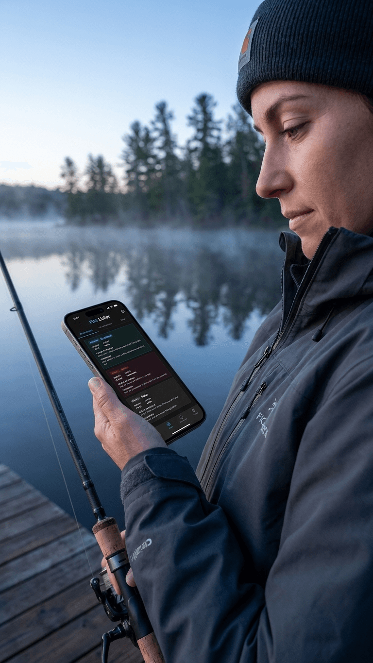
Enter a location and pick a target species: largemouth bass, smallmouth bass, walleye, crappie, northern pike, or muskie. Every recommendation after that is built around how that species behaves.
The engine pulls real-time weather (air temp, cloud cover, wind), barometric pressure trend, and solunar timing tied to sunrise, sunset, and moon phase for that location and date range.
Fish Licker returns the best time windows to fish and lure and color picks matched to water clarity and light. Upload a lake map and you also get ranked hotspots with the reasoning behind each pick.

Get specific lure recommendations for every time period of the day, tuned to your local weather, pressure, and solunar timing.
Run Forecast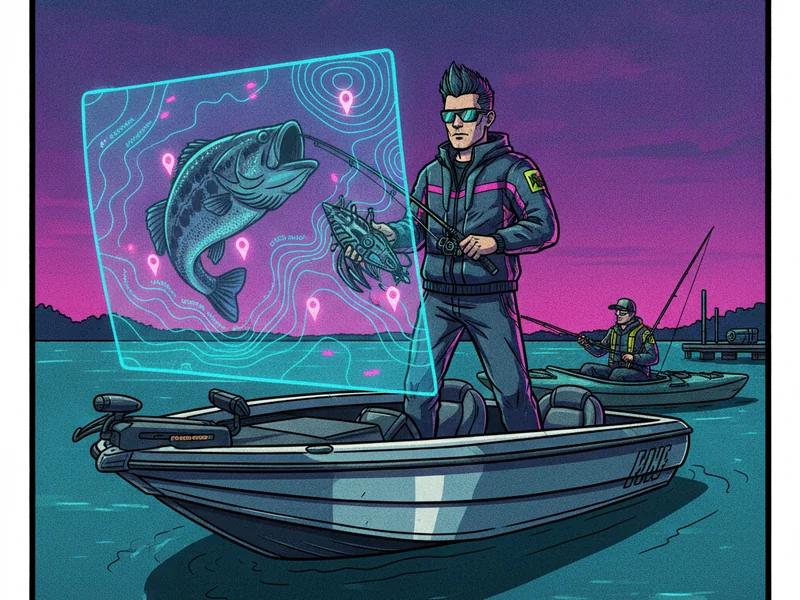
Upload your lake depth map and get specific spot recommendations on exactly where to fish.
Open Fishing Maps
Log every catch with a photo, species, size, and lure. Weather and moon data save automatically.
Log Your Catches
The free AI fishing forecast turns live weather, barometric pressure trends, and solunar major and minor periods into an hour-by-hour bite plan for your lake and target species.
Upload a lake contour or depth map and the AI fishing spot finder reads the structure for you, then ranks the points, humps, drop-offs, and weed edges most likely to hold fish today.
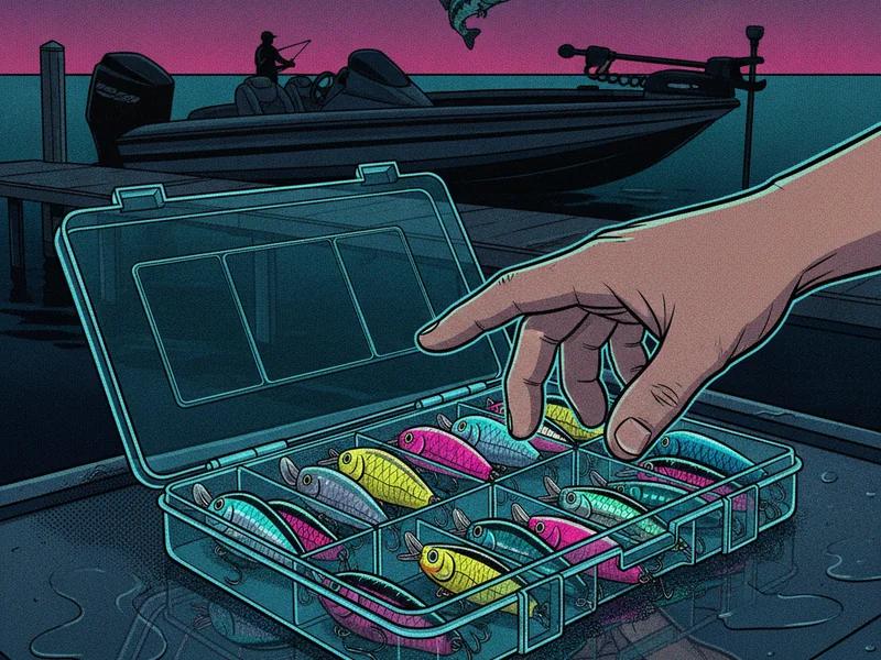
Match lure color and presentation to water clarity, light conditions, season, and target species, so you stop guessing between chartreuse, green pumpkin, and natural shad patterns.
The Fish Licker fishing log is a private catch journal. Record each fish with a photo, species, size, lure, and spot, and weather conditions are captured automatically so your patterns build themselves.
Pressure trends (rising, falling, or stable) add context about changing conditions. Fish Licker combines pressure with wind, cloud cover, time of day, depth, and structure — not as a standalone predictor.
Major and minor feeding windows tied to sunrise, sunset, and moon phase. Combined with weather trends, they help flag when fish are more likely to be active.
No. It predicts high-probability locations and time windows from available data. It can't confirm fish are present at a given moment or guarantee a catch.
No. Bank anglers can set shore-accessible depth ranges in Fishing Maps and still get species-specific, weather-driven recommendations.
No. It's a planning tool. On-water sonar and observation should confirm its recommendations, not the other way around.
Fish Licker is currently free during its public beta.

Find fish faster with Fish Licker's AI-powered lake-map analysis. Learn how to upload a contour map, calibrate conditions, and get a ranked fishing spot plan.
A forecast takes about ninety seconds to generate. This guide walks through every panel on the Fish Licker AI results page, in order, and shows which ones to read first.
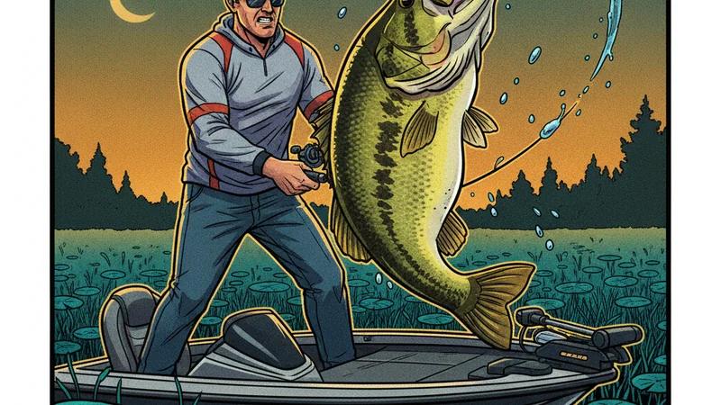
Summer heat can make bass fishing more challenging, but the right locations, presentations, and lure colors can keep the bites coming. Learn how to target the thermocline, fish offshore structure, and select the best summer bass lures for changing conditions.